


Photo by Gary Dickson
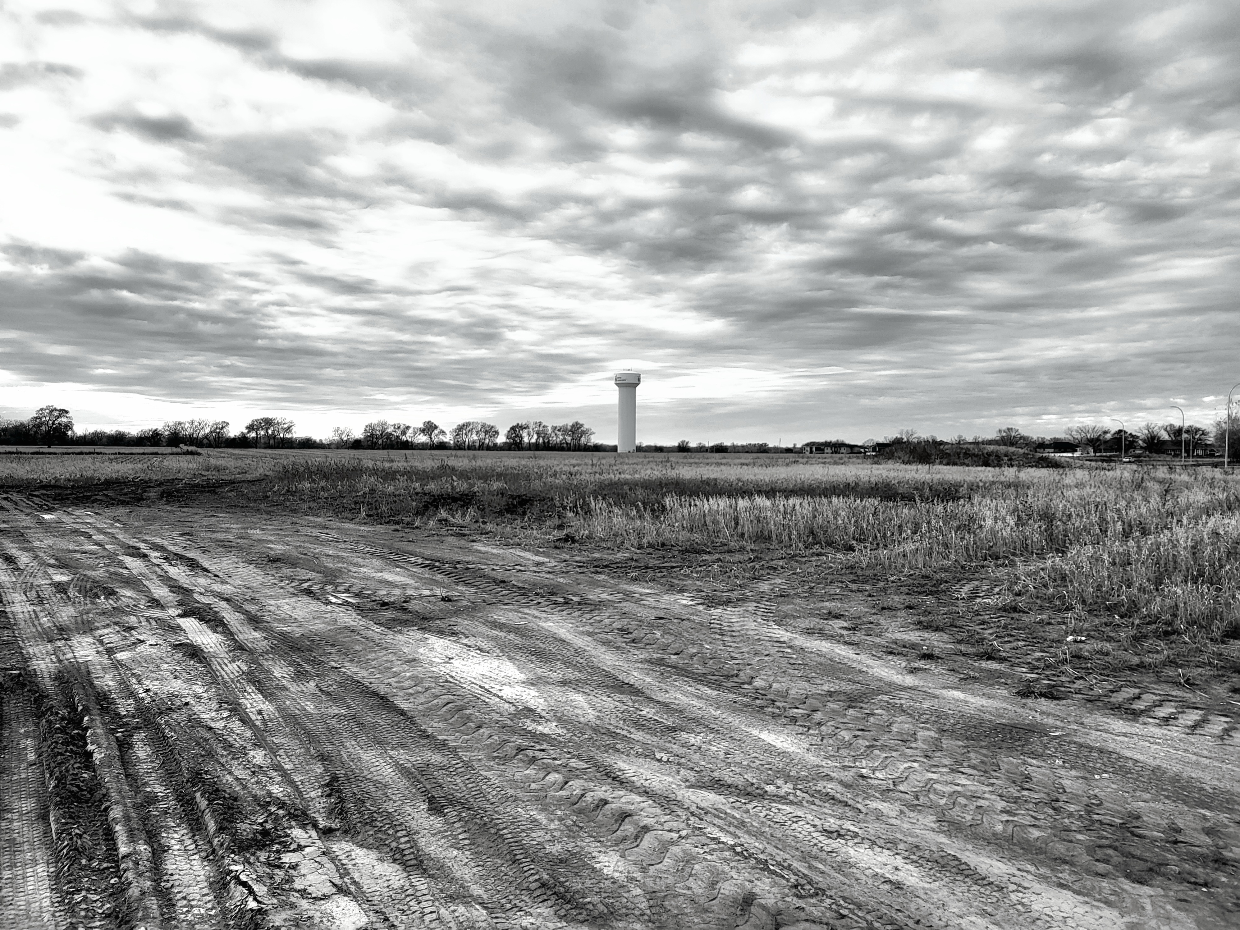
Area people should have a pretty good idea of where this photo was taken and what it shows. Some folks have really gotten their knickers in a knot over it. Or how it is going to be paid for. Or how long parts of it will be. Or what size units of dirt will be. Personally, I just thought the sun and clouds looked mighty pretty that afternoon when I was nosing around, so I stopped to take a photo with my cellphone.
Since today is Thursday when I’m posting the photo, I’ll give readers/viewers until Sunday evening a chance to drive around the southern Union County area (that’s North Sioux City, Dakota Dunes, etc.) to see if they can spot this particular scene. Then post your answers in the comments section on this page.
Good luck!
EDITOR’S NOTE: One person on NextDoor guessed the correct location of the photo. Bill Dailey from Wynstone inserted a satellite Google Map showing pretty much the exact point I took the photo. Although the map was an older one that didn’t have the same street signs and realtors’ signs it was correct. In other words, the place I took the picture from is known as Wrexham Road, a part of the Union Crossing Development. The view is looking west/northwest towards the North Sioux City water tower.
Congratulations, Bill!
